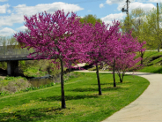
Three-Mile Creek Walking Trail

Trail Hours: 6 a.m. to 10 p.m., daily.
The City of Leavenworth is accepting applications for the Three-Mile Creek cleanup and grant partnership. Under this program, a registered nonprofit in Leavenworth may be eligible for a $500 grant upon successful completion. Slots are only available on a monthly basis during spring, summer and fall. Program guidelines and application are attached below.
The two trailheads are at Seventh and Cherokee streets near Haymarket Square and at Leavenworth Landing Park. This trail joins with the trail at Leavenworth Landing Park where Three-Mile Creek joins with the Missouri River.
At times of high water, this trail will have sections closed because of flooding.
Trail History:
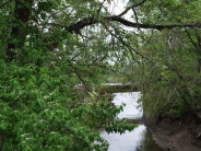
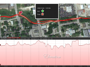
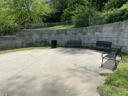
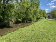
The Three-Mile Creek Walking Trail was installed by the City of Leavenworth in 2009 as a premiere paved walking and biking 1/2-mile trail. It is so named for Three-Mile Creek.
In 1827 when Colonel Henry Leavenworth and his Dragoons first built Fort Leavenworth, they began measuring miles from the point where Fort Leavenworth's flag is now found at Main Parade on post. Several of our local creeks are named for their distance from the Fort Leavenworth flag and not the lengths of the creek: One-Mile Creek on post, Three-Mile Creek in Leavenworth, and Five-Mile Creek in Leavenworth and Lansing.
In the early 2000s the City began applying for grants to develop a trail along Three-Mile Creek and engineers conducted historical research on the site:
Three-Mile Creek is one of the earliest stream designations in the state as documented by Lewis and Clark in 1804 and named by the U.S. Army in 1827 as a geographic feature, approximately three miles from the post headquarters on Fort Leavenworth. The confluence of Three-Mile Creek and the Missouri River is the location of the last botanical specimen collected and recorded by Meriwether Lewis. It was a "Raccoon Grapevine," which bears fruit not edible for humans, native to our area.

